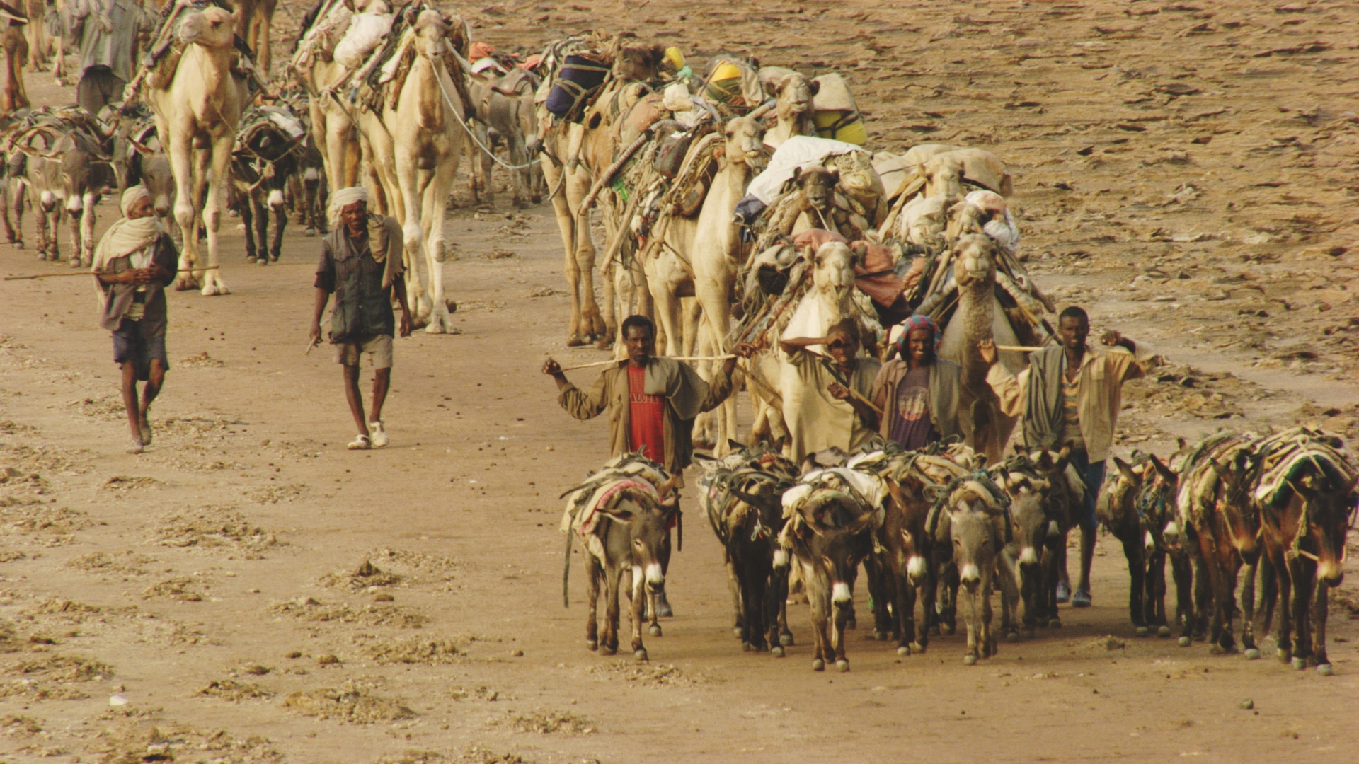
With an area of 1,137,000 km2, Ethiopia is located between 3°N and 14°N, equidistant from the equator and the Tropic of Cancer. Situated on the African side of the Great Rift, sheltering the Afar Depression at the meeting point of three tectonic plates and draining the main rivers of the Horn of Africa, Ethiopia has a very diverse environment.
The topography thus extends from the Danakil Desert at 120 m below sea level to the snow-capped peaks of Mount Ras Dashan culminating at 4,550 m. The country's relief combines high plateaus (notably the central plateau located at an altitude varying between 1,800 and 3,000 m), steep massifs and canyons, volcanic regions, savannahs, desert areas and high green plains.
The country was explored and mapped from 1838 to 1848 by Antoine d'Abbadie.
Due to its position in a tropical zone, its relief and its proximity to the Indian Ocean, Ethiopia has a wide variety of climates. Overall, only the southwestern regions have a tropical climate, with the climates of other areas being influenced by altitude and the Indian Ocean monsoon.
Ethiopia has an extremely diverse vegetation due to the wide variety of climates and reliefs within the country. The Ethiopian region is in this respect one of the eight ecozones identified throughout the world by the biologist Nikolai Vavilov, that is to say regions of the globe where there is a very high genetic diversity of particular species that can be identified as the center of origin of this species.
Aerial footage of Etiopia