
Excerpt from the film TERRA, directed by Michael Pitiot and Yann Arthus-Bertrand, original soundtrack by Armand Amar, images by Bruno Cusa, produced by HOPE Production
Pictures of the Lost World
In the southeast of Venezuela, at the tripoint border with Brazil and Guyana, rises one of the most extraordinary and least accessible landscapes on the planet : the tepui massif. These immense flat-topped rock formations with sheer vertical walls, surging abruptly above the Amazonian canopy at altitudes of 2,000 to 3,000 metres, are among the oldest geological formations on earth — their Precambrian bedrock dates back nearly 1.8 billion years.
Isolated from the world for millions of years, the summits of the tepuis harbour unique ecosystems, with largely endemic fauna and flora still poorly understood by science. It was an account of exploration of these mysterious plateaus that inspired Arthur Conan Doyle to write his adventure novel The Lost World in 1912 — a title we have borrowed for this collection.
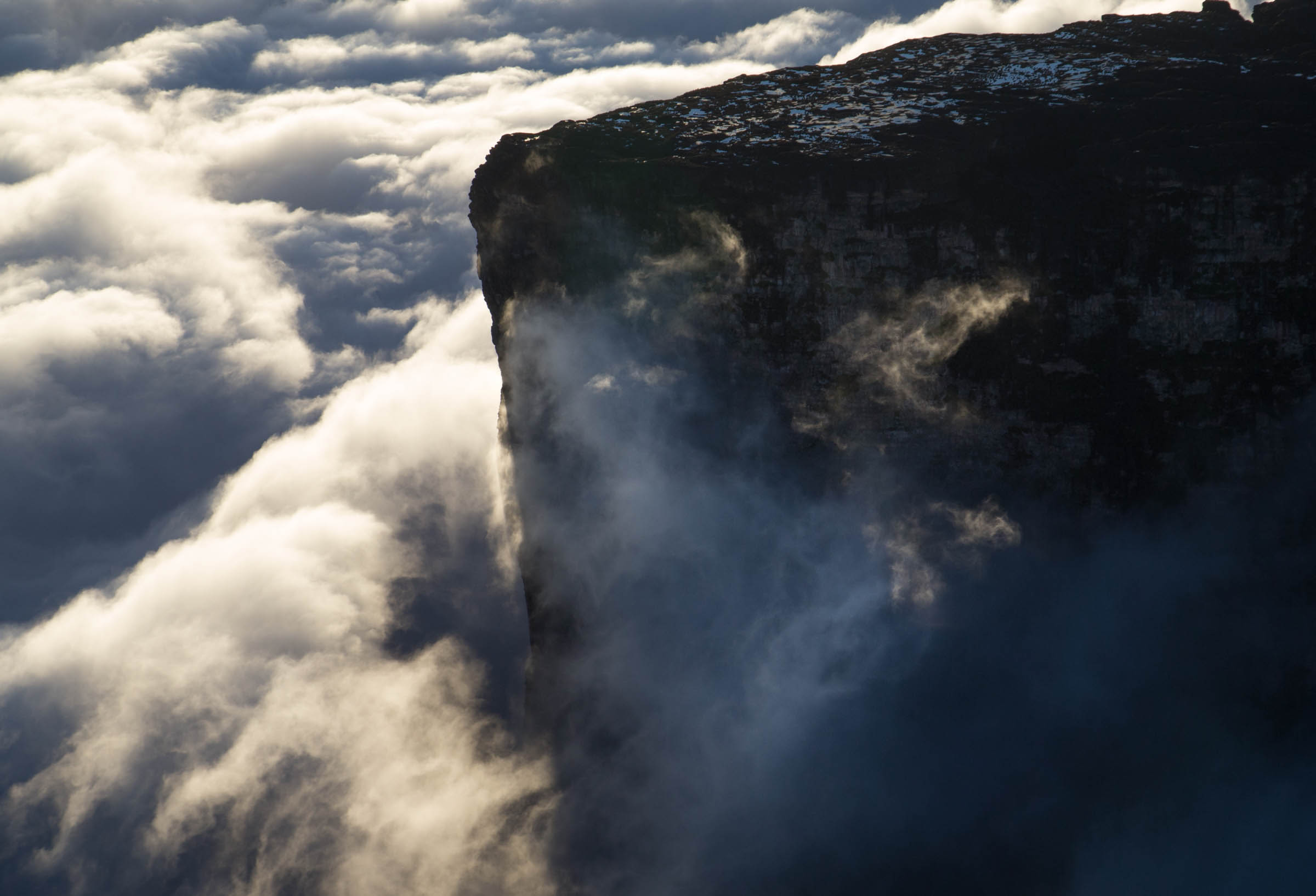
Mount Roraima — The most famous of the tepuis, Mount Roraima peaks at 2,810 metres at the meeting point of Venezuela, Brazil and Guyana. Its vertical sandstone cliffs plunge several hundred metres into the mist, while its summit plateau — perpetually shrouded in cloud — harbours plant and animal species found nowhere else on earth. First climbed by a British expedition in 1884, it remains one of the most singular summits in South America.
Canaima National Park — A UNESCO World Heritage Site, Canaima National Park is one of the largest protected parks in the world, covering nearly 30,000 km². Its lagoons of black water stained by plant tannins, its spectacular waterfalls and its tepuis emerging from the forest make it one of the most photogenic natural landscapes in South America.
Filming at the edge of the world — Shooting the tepuis by helicopter is a rare and demanding undertaking. The region is subject to extremely unpredictable weather conditions : the tepuis generate their own cloud systems, making visibility impossible to forecast from one hour to the next. Aeronautical infrastructure is virtually non-existent, refuelling takes place on rudimentary airstrips, and Venezuelan airspace has become increasingly difficult to navigate in recent years — flights in this region are now considered among the most hazardous in South America. These constraints make our footage all the more rare : it represents a filming window that may never be replicated.
Primary forest at ground level — Alongside the aerial footage, our collection includes sequences shot on the ground in primary rainforest, using a RED camera and cablecam systems rigged between the trees — allowing smooth, fluid movement through the canopy that no helicopter could achieve.
4K stock footage of Venezuelan tepuys and Amazonian forest
4K Filming
Ground footage was shot using a RED camera and cablecam systems rigged in the forest canopy. Aerial footage was shot using an Arri Alexa cinema camera mounted in a Cineflex gyro-stabilised system supplied by Papa Sierra. The entire Venezuela collection is available in 4K.
Ground footage was shot using a RED camera and cablecam systems rigged in the forest canopy. Aerial footage was shot using an Arri Alexa cinema camera mounted in a Cineflex gyro-stabilised system supplied by Papa Sierra. The entire Venezuela collection is available in 4K.