Viewed from the sky, Earth's surface ceases to be a landscape and becomes a composition. The vertical perspective abolishes depth, erases the horizon and sky, eliminates scale references: only lines, colored masses and rhythms remain. The eye no longer recognizes, it reads. This is the shift we call the graphic image here.
Our collection is particularly rich in these, because these patterns are everywhere once you gain altitude. Agriculture produces them abundantly: terraces following contour lines, parcels assembled like pieces of marquetry, irrigation circles, checkerboards of salt ponds and marshes. The city creates others, more rigorous: rows of towers, roof grids, repetitive patterns of port and industrial zones. Nature finally draws the freest ones on its own: delta ramifications, dune undulations, ice pack fractures, sand writings under water.
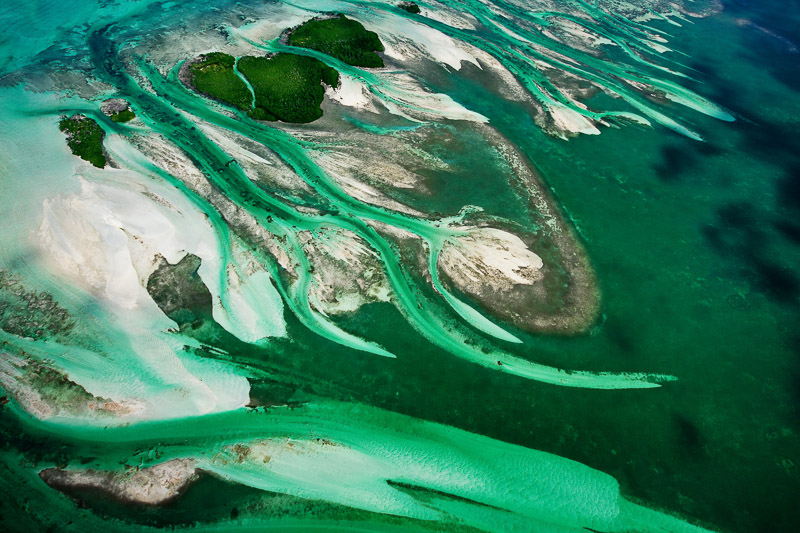
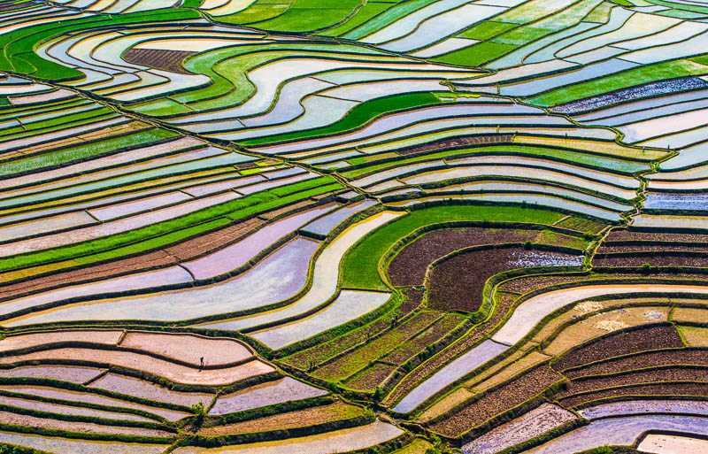
The two images accompanying this article summarize these two families. At Betafo, in the highlands of Madagascar, terraced rice paddies follow the relief in a succession of nested curves whose color changes with the season, from mirror-like water to dense green then to the gold of harvest. In the Florida Keys, it is the seagrass beds and sandbars that compose, against a turquoise background, flared forms like flower corollas that nothing from the shore could have predicted.
These images have a clearly identified use in production: station idents and channel packaging, transitions, title backgrounds, opening shots, advertising. They function as textures as much as views, lend themselves to slow motion, reframing and marked color grading. All are available in video and/or photography, in high definition or 4K for an increasingly large part of our collection, with the corresponding overflight authorizations.