Christ the Redeemer Statue in Rio
Brazil has a total area of ??8,547,877 km2, stretching from the Equator to the Tropic of Capricorn. The country occupies a large area along the eastern coast of South America and includes much of the continent's interior.
The country is by far the largest in Latin America, covering nearly half of the South American continent. It shares land borders with Uruguay and Argentina to the south, Paraguay to the south-southwest, Bolivia to the west-southwest, Peru to the west, Colombia to the west-northwest, Venezuela to the northwest, Guyana to the north-northwest, and Suriname and Guyana to the north.
Because of its size, Brazil shares a common border with all the countries of South America, with the exception of Ecuador and Chile. The Brazilian territory also includes a number of islands or islets, such as Fernando de Noronha, Atoll das Rocas, the islands of San Pedro and San Paul, and the archipelago of Trindade and Martin Vaz. Its size, relief, climate and natural resources make Brazil a geographically diverse country.
Brazil is the fifth largest country in the world, after Russia, Canada, the United States and China, and the third largest in the Americas, after Canada and the United States.
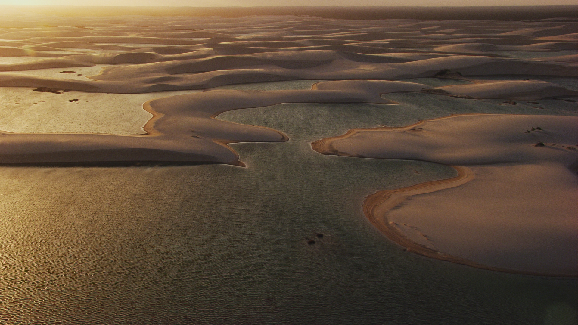
Aerial footage of Brazil

