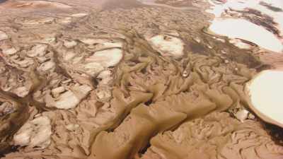
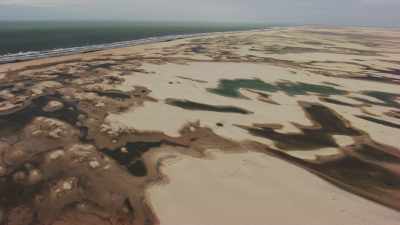
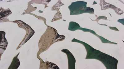
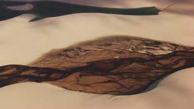
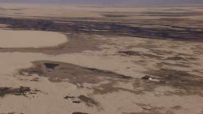
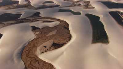
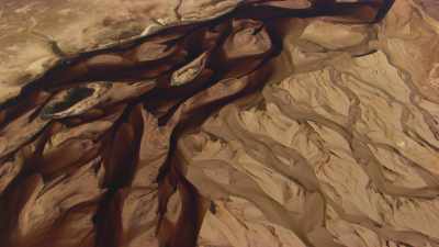
Flying over the Park reveals the fantastic drawings of nature. The Lençóis Maranhenses National Park is a national park located in Maranhão state, in northeastern Brazil, just east of the Baía de São José. It is an area of low, flat, occasionally flooded land, overlaid with large, discrete sand dunes. It encompasses roughly 1,500 km2 (580 sq mi), and despite abundant rain, supports almost no vegetation. The area became a National Park on June 2, 1981.
Flying over the Park reveals the fantastic drawings of nature. The Lençóis Maranhenses National Park is a national park located in Maranhão state, in northeastern Brazil, just east of the Baía de São José. It is an area of low, flat, occasionally flooded land, overlaid with large, discrete sand dunes. It encompasses roughly 1,500 km2 (580 sq mi), and despite abundant rain, supports almost no vegetation. The area became a National Park on June 2, 1981.
Flying over the Park reveals the fantastic drawings of nature. The Lençóis Maranhenses National Park is a national park located in Maranhão state, in northeastern Brazil, just east of the Baía de São José. It is an area of low, flat, occasionally flooded land, overlaid with large, discrete sand dunes. It encompasses roughly 1,500 km2 (580 sq mi), and despite abundant rain, supports almost no vegetation. The area became a National Park on June 2, 1981.
Flying over the Park reveals the fantastic drawings of nature. The Lençóis Maranhenses National Park is a national park located in Maranhão state, in northeastern Brazil, just east of the Baía de São José. It is an area of low, flat, occasionally flooded land, overlaid with large, discrete sand dunes. It encompasses roughly 1,500 km2 (580 sq mi), and despite abundant rain, supports almost no vegetation. The area became a National Park on June 2, 1981.
Flying over the Park reveals the fantastic drawings of nature. The Lençóis Maranhenses National Park is a national park located in Maranhão state, in northeastern Brazil, just east of the Baía de São José. It is an area of low, flat, occasionally flooded land, overlaid with large, discrete sand dunes. It encompasses roughly 1,500 km2 (580 sq mi), and despite abundant rain, supports almost no vegetation. The area became a National Park on June 2, 1981.
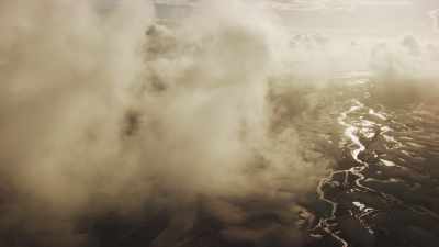
Flying in the golden light and into the clouds over the Park reveals the fantastic drawings of nature. The Lençóis Maranhenses National Park is a national park located in Maranhão state, in northeastern Brazil, just east of the Baía de São José. It is an area of low, flat, occasionally flooded land, overlaid with large, discrete sand dunes. It encompasses roughly 1,500 km2 (580 sq mi), and despite abundant rain, supports almost no vegetation. The area became a National Park on June 2, 1981.
Flying over the Park reveals the fantastic drawings of nature. The Lençóis Maranhenses National Park is a national park located in Maranhão state, in northeastern Brazil, just east of the Baía de São José. It is an area of low, flat, occasionally flooded land, overlaid with large, discrete sand dunes. It encompasses roughly 1,500 km2 (580 sq mi), and despite abundant rain, supports almost no vegetation. The area became a National Park on June 2, 1981.
Flying over the Park reveals the fantastic drawings of nature. The Lençóis Maranhenses National Park is a national park located in Maranhão state, in northeastern Brazil, just east of the Baía de São José. It is an area of low, flat, occasionally flooded land, overlaid with large, discrete sand dunes. It encompasses roughly 1,500 km2 (580 sq mi), and despite abundant rain, supports almost no vegetation. The area became a National Park on June 2, 1981.
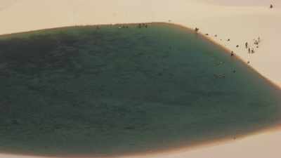
Lagoons are found between the dunes in the Park, and swimmers bathe in the natural pools. Flying over the Park reveals the fantastic drawings of nature. The Lençóis Maranhenses National Park is a national park located in Maranhão state, in northeastern Brazil, just east of the Baía de São José. It is an area of low, flat, occasionally flooded land, overlaid with large, discrete sand dunes. It encompasses roughly 1,500 km2 (580 sq mi), and despite abundant rain, supports almost no vegetation. The area became a National Park on June 2, 1981.
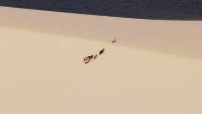
Several goats roam freely on the parks dunes. Flying over the Park reveals the fantastic drawings of nature. The Lençóis Maranhenses National Park is a national park located in Maranhão state, in northeastern Brazil, just east of the Baía de São José. It is an area of low, flat, occasionally flooded land, overlaid with large, discrete sand dunes. It encompasses roughly 1,500 km2 (580 sq mi), and despite abundant rain, supports almost no vegetation. The area became a National Park on June 2, 1981.
A lonely walker strolls along the white park's dunes. Flying over the Park reveals the fantastic drawings of nature. The Lençóis Maranhenses National Park is a national park located in Maranhão state, in northeastern Brazil, just east of the Baía de São José. It is an area of low, flat, occasionally flooded land, overlaid with large, discrete sand dunes. It encompasses roughly 1,500 km2 (580 sq mi), and despite abundant rain, supports almost no vegetation. The area became a National Park on June 2, 1981.
Flying over the Park reveals the fantastic drawings of nature. The Lençóis Maranhenses National Park is a national park located in Maranhão state, in northeastern Brazil, just east of the Baía de São José. It is an area of low, flat, occasionally flooded land, overlaid with large, discrete sand dunes. It encompasses roughly 1,500 km2 (580 sq mi), and despite abundant rain, supports almost no vegetation. The area became a National Park on June 2, 1981.
Flying over the Park reveals the fantastic drawings of nature. The Lençóis Maranhenses National Park is a national park located in Maranhão state, in northeastern Brazil, just east of the Baía de São José. It is an area of low, flat, occasionally flooded land, overlaid with large, discrete sand dunes. It encompasses roughly 1,500 km2 (580 sq mi), and despite abundant rain, supports almost no vegetation. The area became a National Park on June 2, 1981.
The Lençóis Maranhenses National Park is a national park located in Maranhão state, in northeastern Brazil, just east of the Baía de São José. It is an area of low, flat, occasionally flooded land, overlaid with large, discrete sand dunes. It encompasses roughly 1,500 km2 (580 sq mi), and despite abundant rain, supports almost no vegetation. The area became a National Park on June 2, 1981.
Horses roam freely on the Park's dunes. Flying over the Park reveals the fantastic drawings of nature. The Lençóis Maranhenses National Park is a national park located in Maranhão state, in northeastern Brazil, just east of the Baía de São José. It is an area of low, flat, occasionally flooded land, overlaid with large, discrete sand dunes. It encompasses roughly 1,500 km2 (580 sq mi), and despite abundant rain, supports almost no vegetation. The area became a National Park on June 2, 1981.
The Park's natural lagoons. Flying over the Park reveals the fantastic drawings of nature. The Lençóis Maranhenses National Park is a national park located in Maranhão state, in northeastern Brazil, just east of the Baía de São José. It is an area of low, flat, occasionally flooded land, overlaid with large, discrete sand dunes. It encompasses roughly 1,500 km2 (580 sq mi), and despite abundant rain, supports almost no vegetation. The area became a National Park on June 2, 1981.
Men and children walk in the pools with baskets and poles. Flying over the Park reveals the fantastic drawings of nature. The Lençóis Maranhenses National Park is a national park located in Maranhão state, in northeastern Brazil, just east of the Baía de São José. It is an area of low, flat, occasionally flooded land, overlaid with large, discrete sand dunes. It encompasses roughly 1,500 km2 (580 sq mi), and despite abundant rain, supports almost no vegetation. The area became a National Park on June 2, 1981.
Two sheperds and their goats walk on the dunes. Flying over the Park reveals the fantastic drawings of nature. The Lençóis Maranhenses National Park is a national park located in Maranhão state, in northeastern Brazil, just east of the Baía de São José. It is an area of low, flat, occasionally flooded land, overlaid with large, discrete sand dunes. It encompasses roughly 1,500 km2 (580 sq mi), and despite abundant rain, supports almost no vegetation. The area became a National Park on June 2, 1981.
Sao José de Ribamar is a Brazilian municipality part of the São Luís Island together with São Luís, Raposa, and Paço do Lumiar.
The municipality is part of the 1,535,310 hectares (3,793,800 acres) Upaon-Açu/Miritiba/Alto Preguiças Environmental Protection Area, created in 1992.
The Protection Area was created with objectives that included controlling use and occupation of the land, exploitation of natural resources, hunting and fishing, protection of fauna and flora, and maintenance of water quality. A 2011 report noted that the APA was not the target of ongoing public policies to protect its ecosystems. The management plan was completed in October 2014, allowing the Secretary of State for Environment and Natural Resources to start conservation measures. At that time there was still no managing board.